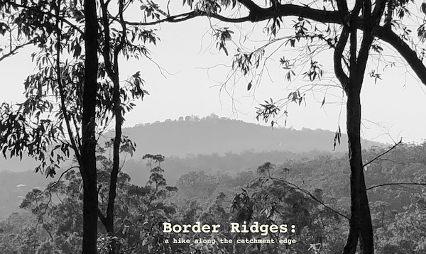
On the 6th October, 2019 I lead a 8 km hike around the top of the Norman Creek catchment. It was in four stages, across the western and southern boundaries of the catchment, taking in the headwaters of Sandy and Ekibin tributries. It was mainly in the forest and usually on well-formed tracks. And, even though it was a city walk (with great cafes at either end, Bruno’s & LoveWell), we could have beem walking in the wilderness! There were toilets, water and resting spots at regular intervals.
There were some steep sections, especially the final climbs towards the summits of Mt. Gravatt and Toohey Mountain, but steps were provided in both cases. A reasonable level of fitness was required to do the whole hike. The easiest (and arguably the most interesting because it hosts some of the oldest living trees in the catchment) section is along the Toohey Ridge track (Stage 3) which is mainly flat with good connectivity and conveniences at either end.
Full details, including stage maps are available as a PDF